How the archive is made
Methodology
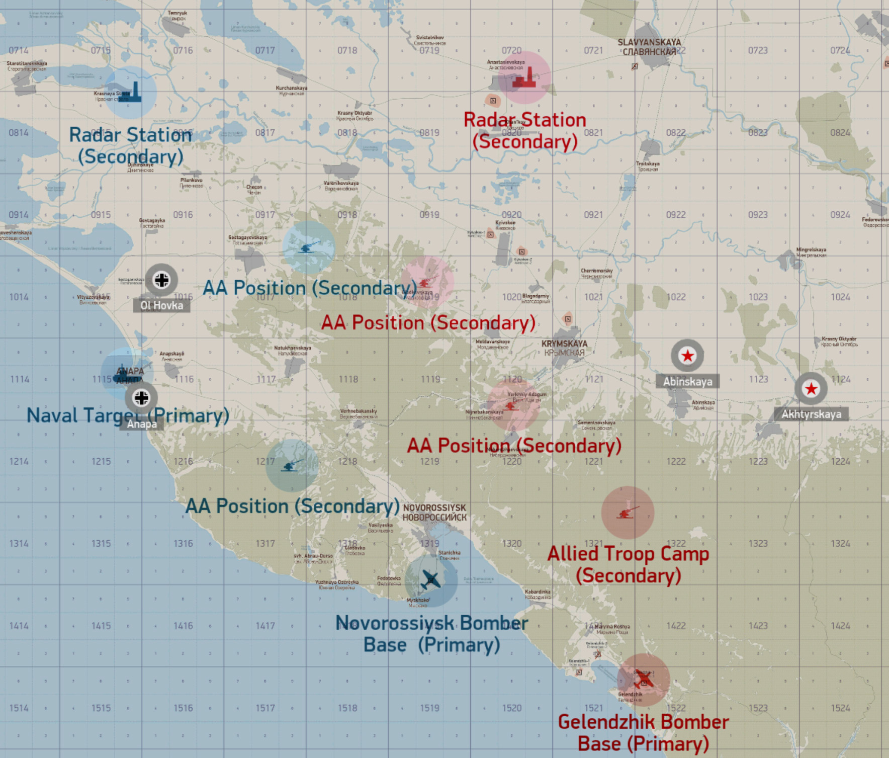
Each reconnaissance photograph is produced from a modified IL-2 mission adapted for automated aerial photography. A Python processing pipeline captures and combines four image tiles into a high-resolution composite, reads the mission file and workbook reference data, and then uses these to orientate and prioritise target groupings before annotation. A label with the target name, its elevation, target type and grid is placed in the top left. At the bottom left, a scale bar is calculated. At the bottom right, a north compass arrow shows the orientation, and below that a strip of information shows the altitude from which the image was captured, the heading the aircraft was taking (flying bottom to top), the grid and other details. Annotated target areas are set at a maximum of six (server owners may request fewer) and are calculated based on their spatial setting and collective supply importance. A switchable "Show AA" option allows some images to contain AA positions, with some hidden depending on how difficult the server owners wish to make the target.
About / How it works